Home |
Temáticas |
Catálogos |
Pedidos |
| |
|||||||
|

|
RUGENDAS. (Johann Moritz) HABITANTE DE GOYAS, QUADRO A ÓLEO PINTADO SOBRE MADEIRA. |
|
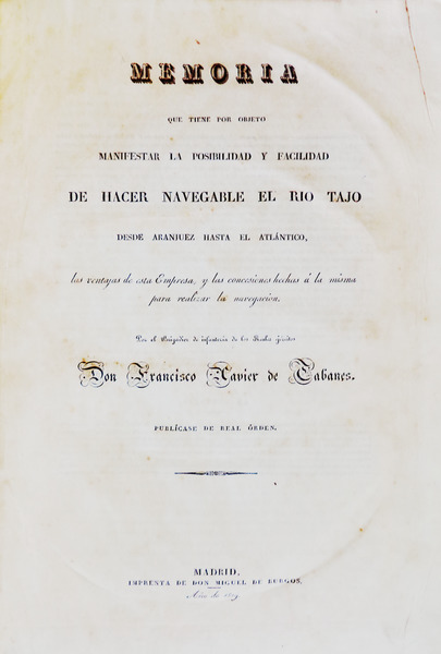
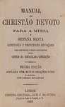
Clique nas imagens para aumentar. CABANES. (Francisco Xavier de) MEMORIA QUE TIENE POR OBJETO MANIFESTAR LA POSIBILIDAD Y FACILIDAD DE HACER NAVEGABLE EL RIO TAJO.DESDE ARANJUEZ HASTA EL ATLÁNTICO, las ventajas de esta Empresa, y las concesiones hechas á la misma para realizar la navegacion. Por el Brigadier de infantería de los Reales ejércitos Don Francisco Javier de Cabanes. PUBLÍCASE DE REAL ÓRDEN. MADRID, IMPRENTA DE DON MIGUEL DE BURGOS, Año de 1829. - [junto com] PLANOS QUE REPRESENTAN LOS RECONOCIMIENTOS DE LAS RIBERAS DEL RIO TAJO. Verificados en 1641 = 1755 y 1828. Con objeto de arreglar la navegacion de este Rio. Año de 1829. [Atlas]. In fólio de 33x23 cm. Com xii, 63, ix, 210 págs. + atlas com 118 litografias numeradas, impressas em [I], 59 fólios. Encadernação da época inteira de pele com acabamento em raiz de nogueira, um pouco cansada. Exemplar apresenta alguma acidez natural do papel utilizado na impressão da obra. Ilustrado com um atlas em extratexto com os levantamentos topográficos das margens do rio Tejo. Obra muito rara especialmente quando acompanhada do atlas das ilustrações. Não existe exemplar na BNP. A obra reúne três de quatro reconhecimentos topográficos existentes: - 1641, pelos engenheiros Luis Carduchi, Julio Martelli e o Licenciado Eugénio Salcedo. - 1755, por D. José Briz e D. Pedro Simó Y Gil associados a D. Miguel Fernandez Olmo. - 1828, Don Agustin Marco Artu em companhia de outros especialistas. Segundo Cabanes, não foi encontrado o primeiro reconhecimento do Rio Tejo efectuado pelo engenheiro Juan Baptista Antonelli, nos anos de 1581 e 1582, facto pelo qual não consta da obra.
Binding: contemporary full calf with walnut tree root workmanship, slightly worn. Copy with some foxing due to the type of paper used. Illustrated with an atlas hors-text depicting the topographic surveys carried out on the banks of Tagus River. A very rare work, especially with the atlas. BNP does not have any copy. This work gathers three of the four existing topographic surveys: - 1641, carried out by engineer Luis Carduchi and engineer Julio Martelli, together with graduated Eugénio Salcedo. - 1755, by D. José Briz and D. Pedro Simó Y Gil, together with D. Miguel Fernandez Olmo. - 1828, Don Agustin Marco Artu together with other specialists. According to Cabanes, it wasn"t found the first survey of the Tagus River, which has been carried out by engineer Juan Baptista Antonelli, in 1581 e 1582, reason why it was not included in this work. Palau 1950, Tomo III, pp. 8, ent. 38563: « fol. xii, 63-ix, p. Apendice, 210 p. y 118 planos. 40 pts P. Vindel, 1925». Referência: 1507JC014
Local: M-8-C-29 Caixa de sugestões A sua opinião é importante para nós. Se encontrou um preço incorrecto, um erro ou um problema técnico nesta página, por favor avise-nos. 
Outras Sugestões
|
Pesquisa Simples


|
|||||||
 |
||||||||
|
 English
 In folio (33x23 cm) with xii, 63, ix, 210 pp + atlas with 118 litographies. numbered and printed in [I], 59 folios.